
Work Experiences
Work Experiences
CURRENT POSITION
Planner II
ROANOKE COUNTY / ROANOKE, Va / September 2022- Present
Develop and implement highly detailed community and corridor plans for County activity centers; create maps using geographic information system technology; design activity center plan summary documents; Promote, write, and format sections of the comprehensive plan; Create illustrative renderings, branding/logos, maps, and displays for community meetings and planning studies; Facilitate public meetings and charrettes; Represent the County and present planning updates to committees, commissions, and neighborhood/business associations; Implement landscaping, design community gateways, wayfinding signs, and public landscapes; Represent the County at local, regional, and state planning meetings; design/manage planning webpages; assist managing County social media; create and implement placemaking elements within communities; assist applying for regional, state, and federal grants and funding; assist County Economic Development, County Administration, County Attorney, County Parks and Recreation, County Public Schools, Town of Vinton, and Roanoke Valley-Allegheny Regional Commission with planning and design projects.
OTHER RELEVANT EXPERIENCES
Planner & Geospatial Analyst
HILL STUDIO / ROANOKE, Va / May 2018- SEPTEMBER 2022
Collected and organized data for regional outdoor recreation initiatives and created various maps showcasing various outdoor recreation trails with adopted themes and trail names to tribute the vast regional heritage. Helped to develop graphics and a way-finding design package of various signage to improve ridership and spearhead a new economic initiative in the heart of Appalachia with its array of natural resources and aesthetics. Created various downtown revitalization related maps and surveyed historic preservation sites. Conducted a site analysis for renewable energy related project regarding wind turbine locations.
Graduate Research Assistant
Office of Economic Development / Blacksburg, Va / May 2017- May 2019
Collected data for economic development purposes by providing crucial information and important leadership for Virginia Tech and the Commonwealth of Virginia in areas related to technology, talent, entrepreneurship, policy implementation, community outreach and support. Linking the gap between individuals and their community by actively engaging and educating them as well as promoting growth and opportunities for people in the region.
Geospatial Analyst
Center for Natural Resource Assessment & Decision Support / Blacksburg, Va / August 2016- May 2017
Collected data on resource inventory of timber based on current conditions to interpret future trends. Produced yearly forest disturbance maps to provide models of accurate projections to quantify timber volume and tree biomass. Projections are used to engage stakeholders in industry, government, and public to answer key questions in sustainability of natural resources.
Sustainability Intern
Virginia Tech-Office of Sustainability / Blacksburg, Va / June 2016- May 2017
Education outreach promoting sustainable practices in the community. Encouraging the adoption of the “reduce, reuse, recycle” in each student’s everyday life. The events I led were Hallow-green in the fall and eARTh week in the spring. Green Request for Proposal approved by Sustainability Board February 2017. This request will change the very inefficient high-pressure sodium lights to the energy saving LED lights in the Burruss Hall tunnel which stay illuminated throughout the day and year. Cost savings will begin immediately with full payback by 2020.
Research Scientist
NASA DEVELOP / Wise, Va / Summer 2015
Technical skills in analyzing, organizing, collecting and modeling large DATA SETS. Work in a group setting with others from different backgrounds to produce final DELIVERABLEs to showcase our work at various formal presentations. I helped to produce a flood inundation map to improve the livelihood and productivity of farmers in a region, which provided risk assessment. I also assisted in producing land cover maps using satellite imagery to locate remote villages in a region. These maps were used to provide medicine and improve quality of life.
Research Consultant
Town’s Office of Sustainability / Blacksburg, Va / Spring 2016
Conducted research for the town related to better efficiency in mass transportation for students and citizens.
Consultant
Sustainability Institute Cohort / Blacksburg, Va / Winter 2015
Work in sustainable development of our world through the triple-bottom-line framework to evaluate company performance. Use of the life cycle analysis to engage a cradle-to-cradle design for efficient product end use. Understanding of the leadership strategies within organizations to maximize operations and minimize global footprint for lasting consumer satisfaction.
Teaching Assistant
Virginia Tech / Blacksburg, Va / Fall 2015
Work in assisting undergraduate students in cartographic methods and elements of the physical environment, enhancing my skills using GIS.
RELEVANT VOLUNTEER WORK
EarthTeam Member
USDA-NATURAL RESOURCE CONSERVATION SERVICE
Field work and data collection including soil and water samples for further testing. Instructing land owners on conservative land management techniques.
Liaison
ESRI Federal GIS Conference
Assisting conference visitors and answering questions regarding geographic information systems.
Participant
Stroubles Creek Restoration Project
Tree planting to restore habitat around polluted creek by building a riparian buffer for shade and filtration.
Group Leader
VT BIG EVENT
Planted trees for a local neighborhood to provide a natural buffer
GIS Analyst
Town Planning Committee Member
Conducted GIS analysis for a member of the local town planning committee regarding zoning restrictions.
BUILDING EXPERIENCE
Crew Member
Rocking K Building & Landscape Design / Blacksburg, Va / Summer 2016
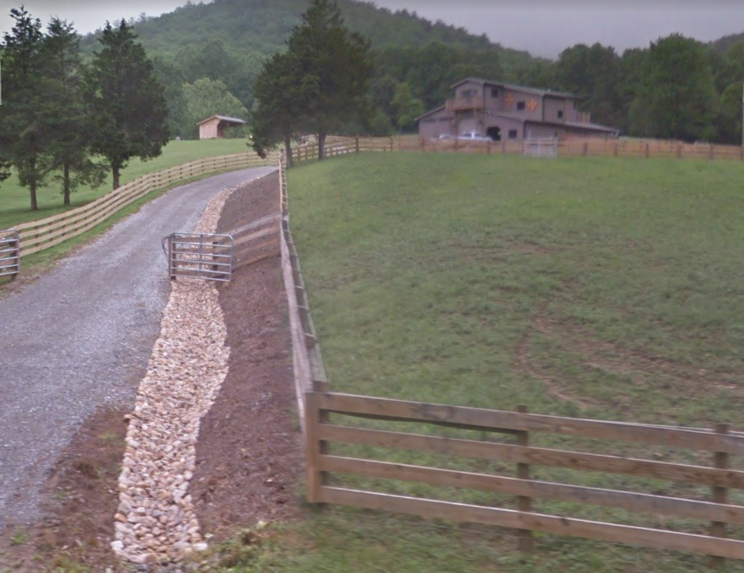
Construction and landscaping crew leader that worked on a small team which built a complete barn and renovated multiple homes interiors and roof as well as improved the overall aesthetics of the landscapes design by implementing innovative techniques.
Team Member
Green Systems Build-Design Comp. Team / Virginia TEch / Spring 2017
Designed a bike that could be used to generate electricity to charge small electronics in refugee/developing country scenarios using basic construction tools. The bike could be easily mounted on the frame generate electricity within 10 seconds of peddling to power lights and charge cell phones OR be dismounted and used as an efficient transportation mode that does not require the removal of the wheel. The team built this device in two weekends and spent less than $100 in parts (generator was donated). This idea could easily be mass produced.


